Upper Indravati Catchment
The Upper Indravati Catchment covering an area of 2, 64,013.40 ha.1 is
located between 18° 45’ - 18° 56’ N latitude and 82°33’-83°10’ E longitudes
in Koraput, Kalahandi, Rayagada and Nowrangpur districts. The catchment area
spreads over 10 CD blocks viz., Boriguma, Koraput, Laxmipur, Dasmanthapur,
Semiliguda & Narayanpatna in Koraput district; Th.Rampur in Kalahandi
district; Tentulikhunti and Nandahandi in Nowrangpur district and Kasipur in
Rayagada district. Indravati river system has Bhaskel on its right bank and
Podagada, Kapur, Muran and Telengiri on its left bank as its tributaries.
The river drains into Godavari basin in Chhatisgarh. The total population is
4.374 million with 45.64% of ST and 17.29% of SC community living in 816
villages and two towns. The average annual rainfall in the area is 1500 mm.
The soil texture is mostly loamy sand (41%) followed by clay (20%), sandy
loam (18%), sandy clay loam (15%) and clay loam (6%). Forty four percent of
the area is moderate to steeply sloped ranging from 10 —15%. Thirty percent
of the area has a slope ranging from 5 —10%. The catchment has a net work
of drainage system with a drainage density of 3.37 Km./Sq.Km.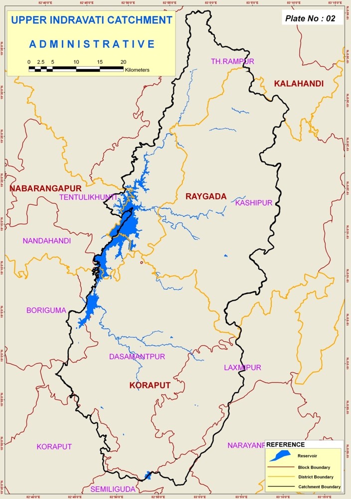
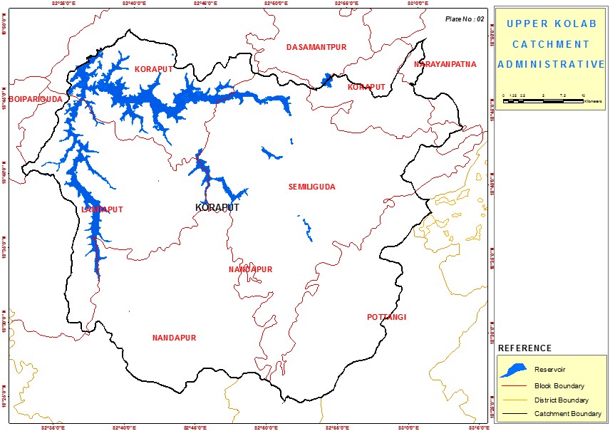
Upper Kolab Catchment
The Upper Kolab catchment covering an area of 162,499.14 Ha is located
between 82° 34’42’’ - 83° 03’04’’ East Longitude and 18°24’45’’-18°49’35’’ North
latitude in Koraput district. The catchment area spreads over 7 CD blocks viz.,
Koraput, Similitude Potangi, Nandapur, Lamtaput, Boipariguda,& Narayanpatna in
Koraput district. Kolab River originates near Sinkaran hills from a plateau and
follow north west in a winding rocky bed and falls into a plateau south of
Jeypore. The river drains into Godavari basin. Its main tributaries are Garia
Nadi and Poteru Vogu.The total population is 1.181 million with 49.6% of ST and
13% SC community living in 413 villages and 3 towns. The average annual rainfall
in the area is 1500 mm. The soil texture is mostly sandy clay loam (46%)
followed by loamy sand (27%), sandy loam (21%), and clay loam (6%). The
catchment has a net work of drainage system with a drainage density of 3.19 Km./Sq.Km.